|
The Reserve operates several research and monitoring programs to understand the structure and function of the Mission-Aransas Estuary.
System-Wide Monitoring Program (SWMP)
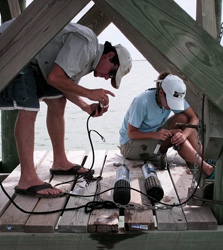
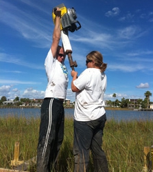
The Mission-Aransas Reserve SWMP currently includes three major components: (1) monitoring of water quality and weather indicators, (2) biological monitoring, and (3) mapping of Reserve habitats and watersheds. The Reserve contains five water quality monitoring stations. These stations are located in the Port Aransas Ship Channel, Aransas Bay, Copano Bay East, Copano Bay West, and Mesquite Bay. Each station measures temperature, salinity, dissolved oxygen, depth, pH, turbidity, and chlorophyll/algal biomass. Nutrients, such as nitrates and phosphates, are monitored at the bay stations on a monthly basis and diel monthly samples are collected at the Port Aransas Ship Channel. The Copano Bay East station also collects weather information, such as air temperature, wind direction, wind speed, barometric pressure, and relative humidity. Changes in biological communities are also measured in seagrass beds and emergent marsh habitats. These stations are measured for abundance, percent cover, shoot/stem densities, and maximum leaf length, and groundwater salinity (for emergent marsh). Finally, Reserve habitats and watersheds are mapped using protocols and a classification scheme that have been standardized across the Reserve System. Data can be downloaded here.
Sentinel Sites
Through the collection of standardized, long-term data sets, the Mission-Aransas Estuary serves as a sentinel for detecting impacts from climate change, specifically sea level rise. The system-wide monitoring program currently provides important information on the water, weather, and biological communities of the Reserve. Additional data from long-term tide stations, Continuous Operating Reference Stations, and surface elevation tables will improve our understanding of how Reserve habitats respond to sea level rise. Ultimately, the information provided by the sentinel site program will help determine the Reserve’s vulnerability to climate change and provide valuable information for coastal communities and resource managers.
National Sentinel Sites
Tidal marshes are facing tremendous pressures from climate change, including accelerated rates of sea-level-rise, increased storm activity and precipitation extremes, lengthened growing seasons and shifts in salinity regimes. Recent research within National Estuarine Research Reserve (NERR) sites has revealed striking changes in plant communities that seem to be caused by rising seas, including shifts toward more flood tolerant species, lower overall plant diversity, and in some cases growing swaths of bare ground. This project will leverage the Reserve System’s geographic diversity, nationally coordinated monitoring program, communication networks, and strong record of collaborative research to conduct a groundbreaking national study examining how marsh plant communities are responding to climate change. Learn more
Zooplankton Monitoring Program
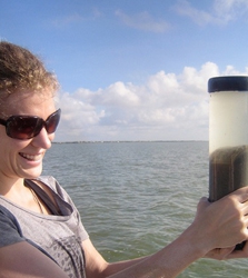
The Reserve monitors zooplankton at the SWMP stations on a monthly basis to detect potential changes in community dynamics. Large changes in the zooplankton community can cause harmful algal blooms, such as red tide. The Reserve is also partnering with scientists at Texas A&M University and Woods Hole Oceanographic Institute to measure real-time changes in zooplankton communities and detect harmful algal blooms. Early detection allows researchers to notify resource managers when levels become too high.
A research project has also been developed to characterize the nutrient dynamics of the Mission-Aransas Estuary. This project will provide a more complete understanding of the relationships between nutrients, water quality, physical processes, and biological communities in a coastal ecosystem. Results of the project will provide valuable information for the Environmental Protection Agency as they develop nutrient criteria for our estuaries.
Freshwater Inflow Collaborative Research
The Reserve conducted a research project to help resource managers establish future freshwater inflow requirements in the face of land use and climate change. This project extends the approach established by the State of Texas for establishing freshwater inflow requirements for the major Texas bay-basin systems using scientific and stakeholder committees. Researchers at the Reserve worked with collaborators Dr. Tarla Rai Peterson from Texas A&M University and Dr. George Ward from The University of Texas to conduct the study. The project was supported by the NERRS Science Collaborative. To get more information on this project download the Final Report here.
In Rockport, Texas the Reserve is conducting a research project to help city and county resource managers understand the biological and environmental issues within Little Bay. The Reserve established a continuous monitoring study to measure standard water quality parameters including temperature, salinity, dissolved oxygen, turbidity, and pH, as well as annual measurements of seagrass. We are using the Report Card approach to distribute the information collected on a quarterly basis. This project is generously supported by the City of Rockport, Aransas County, and Aransas County Navigation District.
|